
Aerial Mapping & Inspections you can Build Decisions On.
High-accuracy orthomosaics, 3D models, and detailed drone inspections. The site data your team needs, without closures, scaffolding, or crews in harm's way. Transport Canada Advanced certified and fully insured, across NB, NS, and PEI.
WHAT WE CAN DO & WHO IT’S FOR
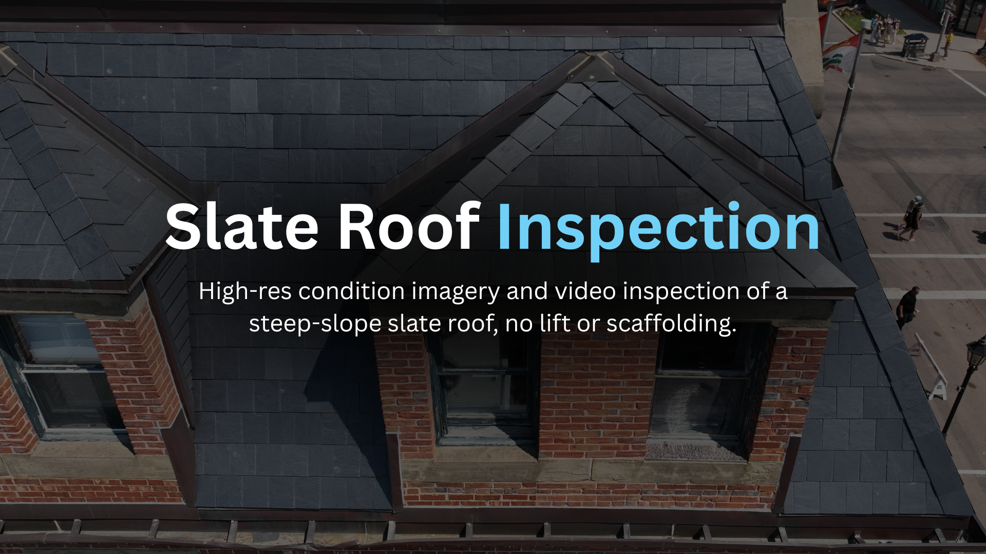
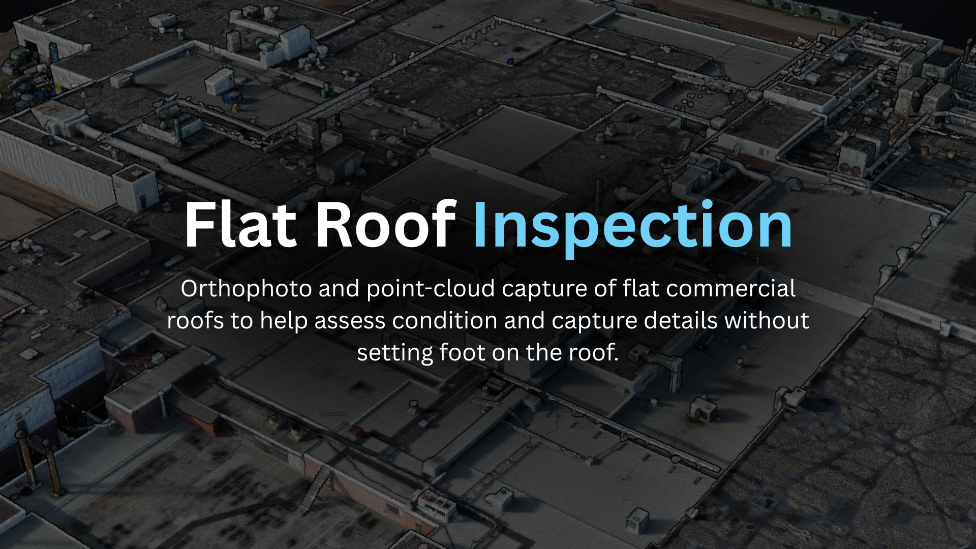
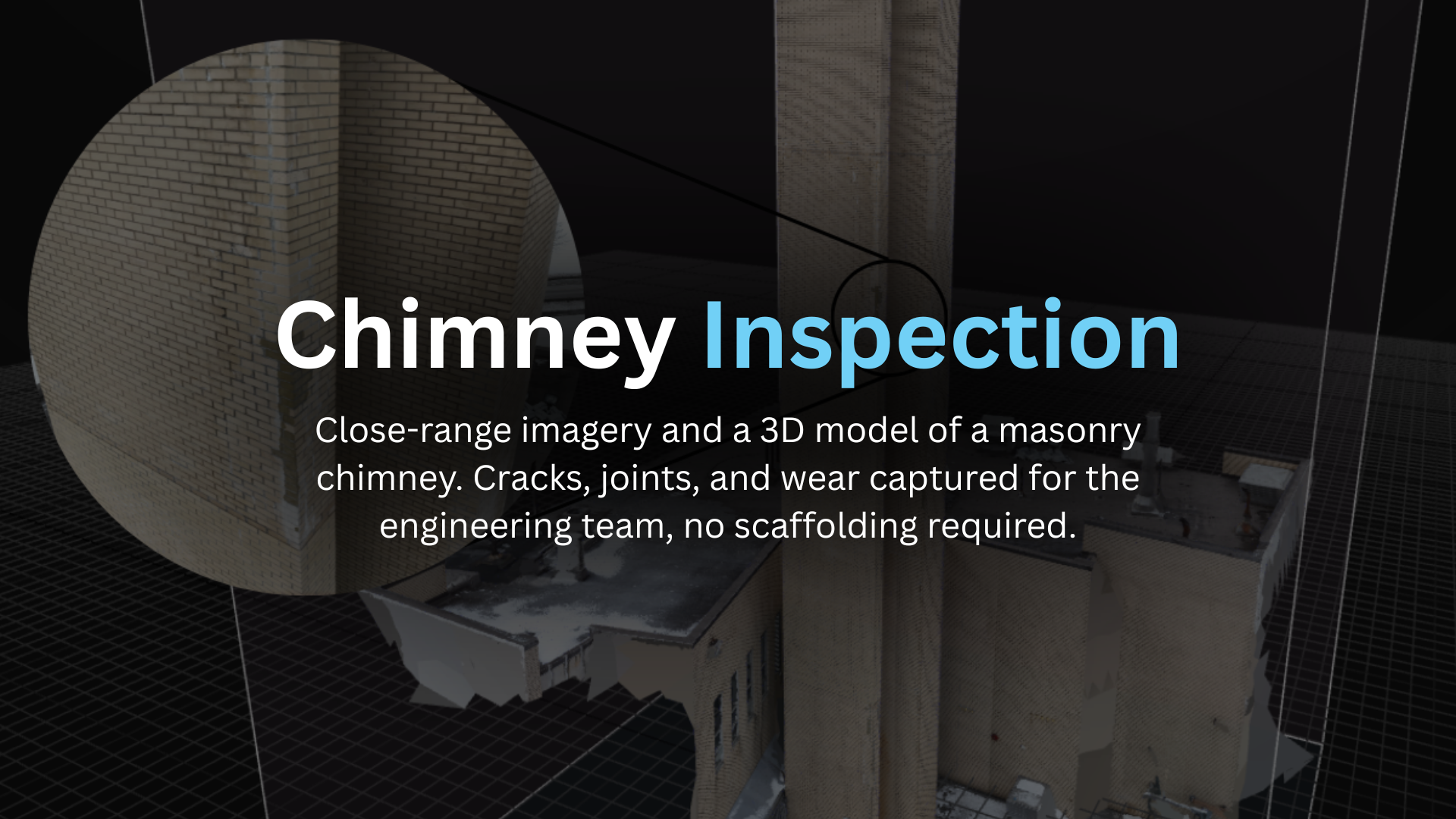
Roof & building inspections — Find leaks, damage, and wear with high-res imagery and 3D models. No lift, no scaffolding. For property managers, building owners, roofers, and insurers.
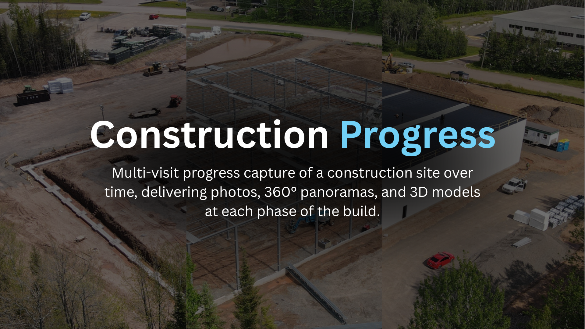
Construction progress tracking — Regular aerial maps and 3D models that keep projects on schedule and everyone aligned on site status. For contractors, project managers, and developers.
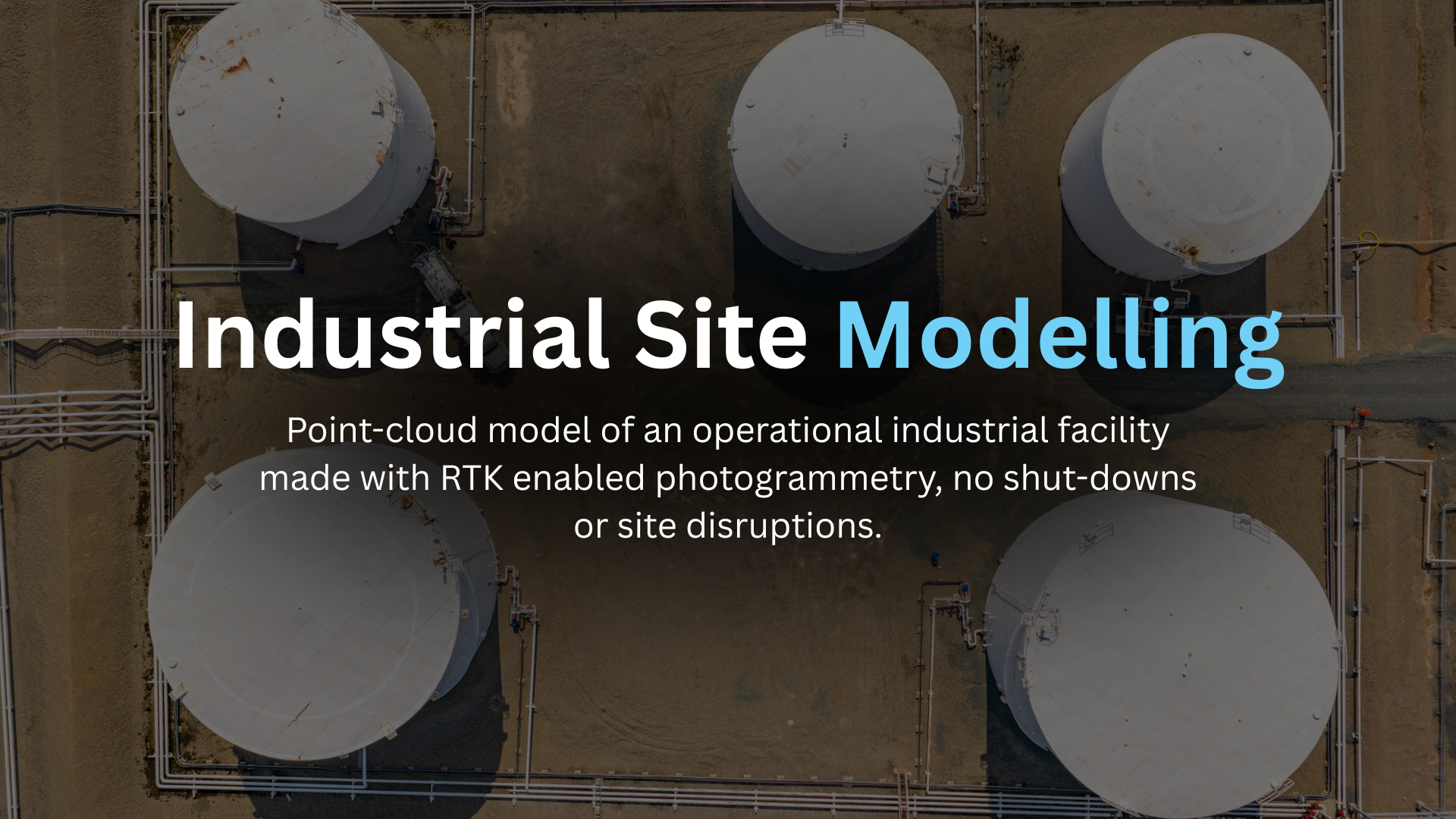
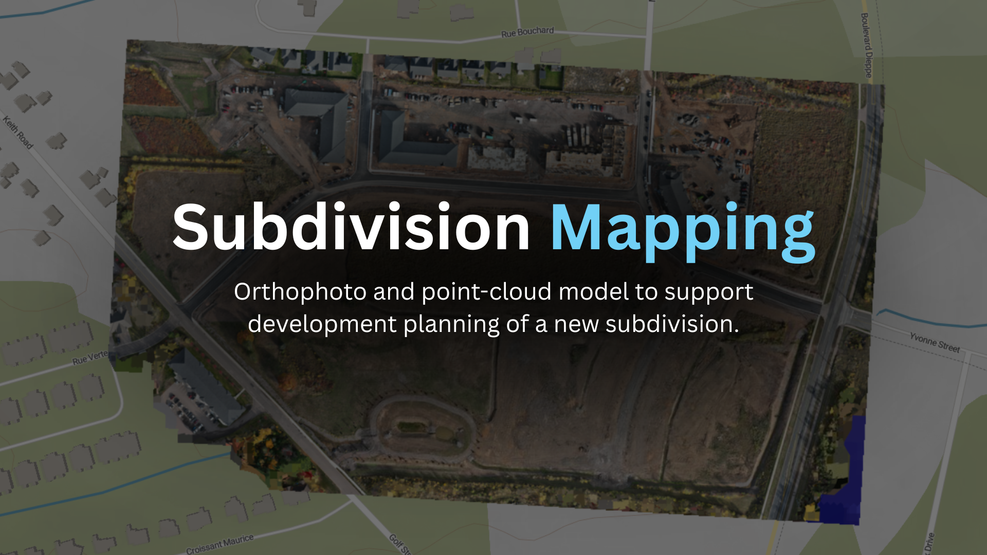
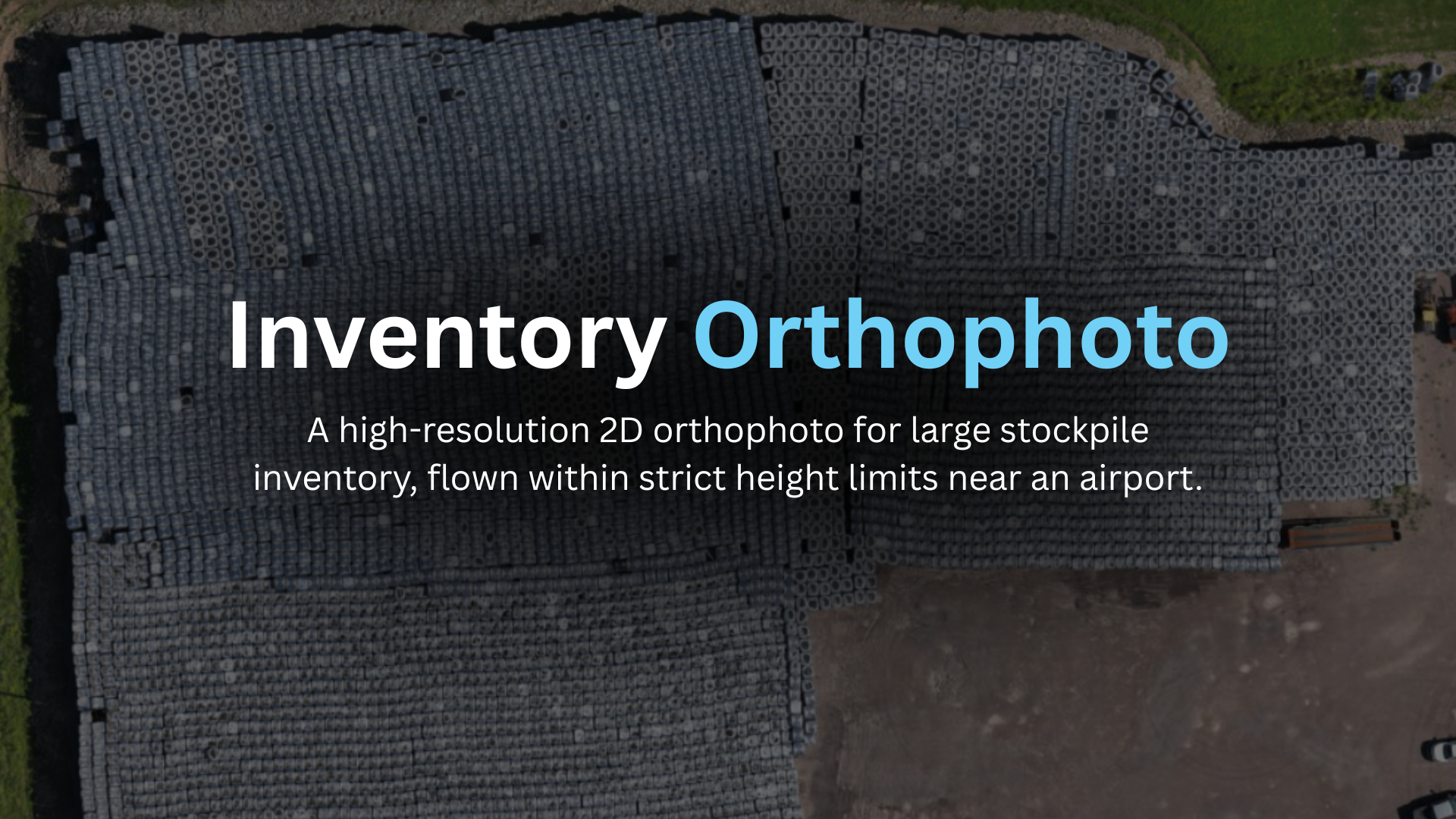
Site maps for operations & planning — Orthomosaic site maps for inventory assessments, emergency and site plans, and day-to-day operations. For municipalities, facility and operations managers, and industrial sites.
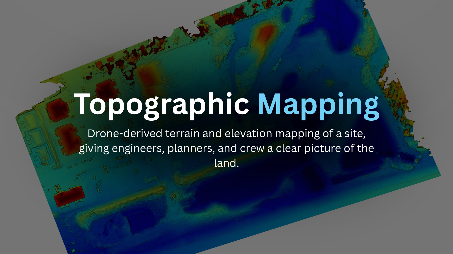
Topographic maps — Drone-derived terrain and elevation maps to support design, grading, and land-use decisions. For engineers, surveyors, developers, and planners.
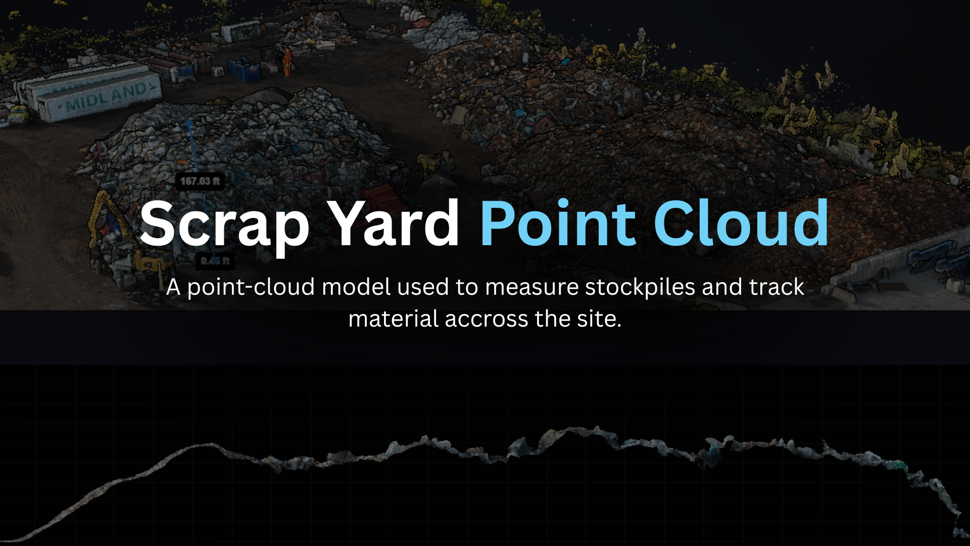
3D modeling — Detailed 3D models of structures and sites for assessment, planning, and visualization. For engineers, architects, and developers.
Need site data you can act on?
Tell us about your project - a single roof or a full site model - we’ll scope it and send a quote.